
Free DMV Neighborhood Tool
Moving to the DMV? See the Neighborhood First
Thinking about moving to Maryland, D.C., Virginia, or West Virginia? Wondering if a specific ZIP is safe, or a good place to live? Enter the ZIP code and get the data before you sign a lease. Add a second ZIP to compare side-by-side. Population, median income, home values, commute, crime, air quality, and climate, with U.S. averages for reference. Live data from the Census Bureau, local police departments, and Open-Meteo. Works for any U.S. ZIP code.
Building your report…
Pulling live demographics, crime stats, air quality, and climate.
Featured DMV neighborhoods
Thinking about moving to a specific DMV neighborhood? We have pre-built reports for 162 of the most-searched ZIPs across Washington, D.C., Maryland, Northern Virginia, and the West Virginia Eastern Panhandle. Each report covers demographics, schools, crime, air quality, climate, and top-rated restaurants.
Washington, D.C.
Maryland
Northern Virginia
How the Neighborhood Report Works
Type a ZIP code, get a real-data snapshot of what living there is actually like. We pull from federal and major public data sources in real time. No estimates, no AI-generated padding. Six sections cover the dimensions that actually change quality of life when you move:
People & Housing
Population, median age, household income, home value, gross rent, owner-occupancy, education, and average commute time. Pulled from the U.S. Census Bureau's American Community Survey 5-year estimates and compared against the national average.
Crime & Safety
Violent crime, property crime, and overall incident rates per 1,000 residents over the last 12 months. Direct from local police departments where they publish incident-level data. Currently covers DC and Montgomery County, MD. Other DMV ZIPs show "data not available" rather than misleading county averages.
Restaurants & Cafés
Total counts of restaurants and cafés within 5 miles, plus the most-reviewed places. "Must Visit" picks have 1,000+ Google reviews and a 4.6 or higher star rating. Data via Google Places API.
Schools
Public and private schools within 5 miles, grouped by level (elementary, middle, high) and sector. Includes name, grade levels, distance, religious affiliation, and enrollment where available. Sourced from NCES Common Core of Data and the Private School Survey.
Air Quality
EPA U.S. Air Quality Index plus PM2.5, PM10, ozone, nitrogen dioxide, and carbon monoxide concentrations. Live readings from Open-Meteo, with EPA and WHO health thresholds as reference points.
Climate
Three-year averages for summer highs, winter lows, annual precipitation, annual snowfall, days at or above 90°F, and days at or below 32°F. Open-Meteo historical archive data.
You can also enter a second ZIP to compare two neighborhoods side-by-side. Each metric card shows whether the local value comes out better or worse than the comparison baseline.
Why Check the Neighborhood Before You Move
Most people pick a place based on the house. The neighborhood is usually a vague hunch from a drive-through or a quick Google search. That is how movers end up surprised by:
- •A commute that is twenty minutes longer than expected.
- •Property taxes baked into a higher home value.
- •Crime rates on the new street that they did not check.
- •Air quality that affects asthma, allergies, or kids.
- •A school district that does not match what they assumed.
- •A neighborhood where every restaurant closes by 9 p.m.
Our crews see this constantly. We get to move day and the customer mentions something they wish they had known. Crime, climate, schools, walkability, air quality. These are decisions you live with for years, but they are easy to skip in the rush of house hunting. This tool exists so you can pull up real numbers in ten seconds before the offer goes in.
Neighborhood report FAQ
Straight answers to the questions we hear most.
Any U.S. ZIP code. The tool handles all 50 states, Washington D.C., Puerto Rico, and U.S. territories. Rural ZIPs may show fewer restaurants and schools because there are fewer within the 5-mile search radius.
Air quality is updated hourly from Open-Meteo's atmospheric monitoring. Restaurant and café data refreshes daily via Google Places. Demographics from the U.S. Census ACS 5-year survey use the latest vintage. Public school data is current school year 2024-25 from NCES; private school data is 2021-22 (the most recent PSS release). Crime totals are the last 12 months from each police department's incident feed, refreshed quarterly.
We only show crime stats for ZIPs where the local police department publishes incident-level data with lat/lon. Right now that means Washington D.C. and Montgomery County, MD. Other DMV jurisdictions either publish only aggregate county-wide stats (Fairfax County) or have data feeds we can't pull from reliably (Baltimore City pipeline went offline in early 2023). Rather than show a misleading county average for your specific ZIP, we hide the section.
Yes. Click the "+ Compare to a second ZIP" link under the search box, type a second ZIP, and submit. Each metric card will then show the local value, the comparison ZIP's value, and a thumbs-up or thumbs-down indicator showing which neighborhood comes out better on that dimension.
The 5-mile search radius may be too narrow for very rural areas. The tool also lazy-loads each state's school data, so cross-state border ZIPs only pull schools from neighboring states for tight regions like the DMV (D.C. queries Maryland and Virginia automatically).
The tool compares the local value to a baseline. If you entered a second ZIP, that's the baseline. Otherwise, the baseline is the U.S. national average (or the EPA / WHO safety threshold for air quality). For metrics where lower is better (rent, commute, PM2.5), exceeding the baseline by 5% or more shows "Worse." For metrics where higher is better (income, owner-occupancy, education), falling under by 5% or more shows "Worse."
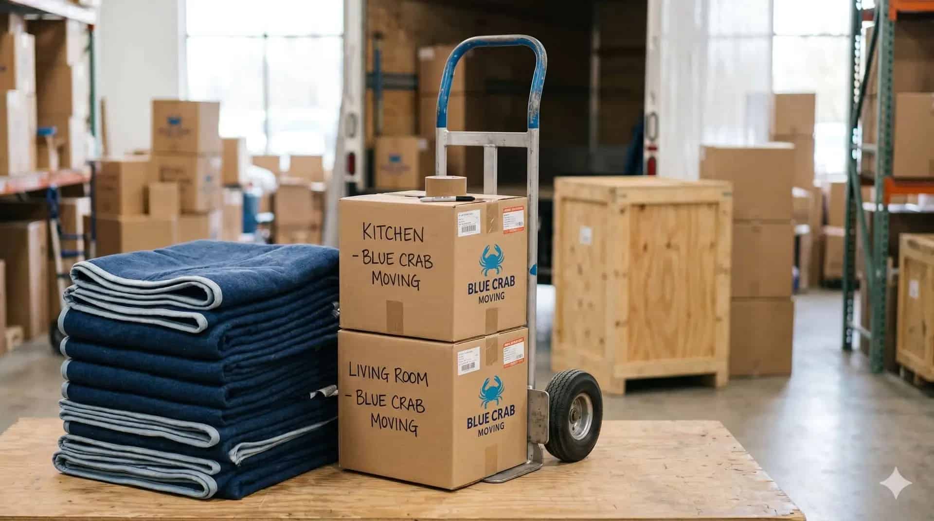
Yes, completely free. No registration, no email required. We built it as a resource for anyone planning a move in the DMV or anywhere else in the U.S., even if you don't end up hiring Blue Crab Moving.
READY TO MAKE THE MOVE?
Tell us about your move. We'll send a binding quote so you know exactly what it costs before you commit.
Or reach out directly
Long distance? We move anywhere in the US.
Truck, Pod, or furniture handling. We do it all and then some.